
Turn raw borehole logs into structured subsurface data tuned to your firm.
Create account → book a meeting → we calibrate to your formats → first 15 sheets free
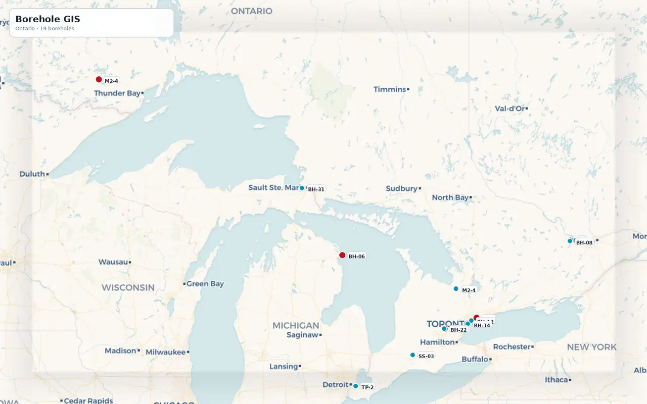
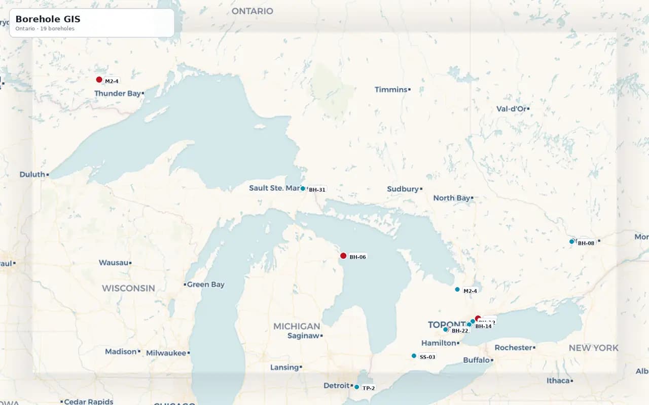
NobeLeap GIS · Live map
Every log geolocated and searchable
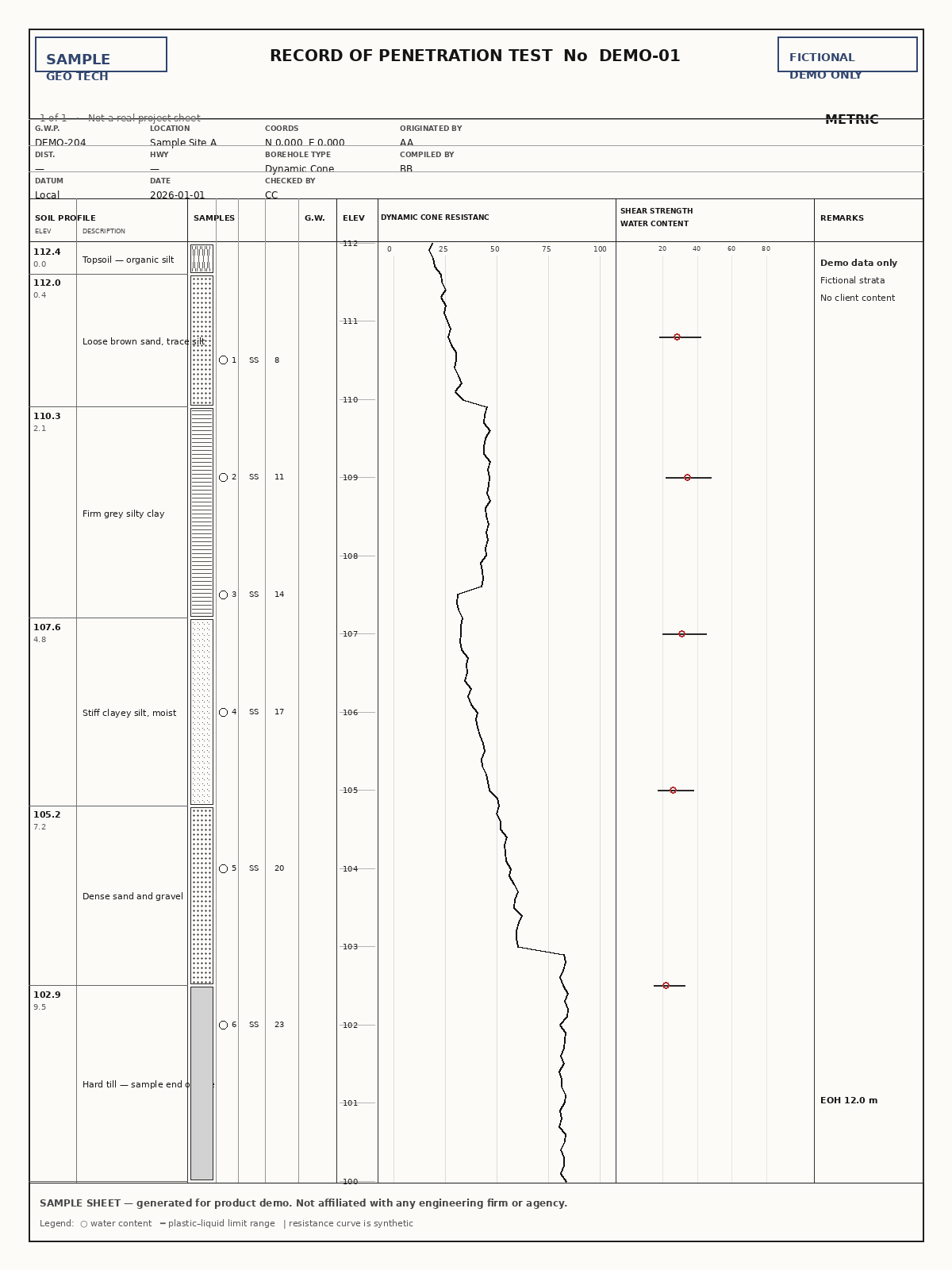
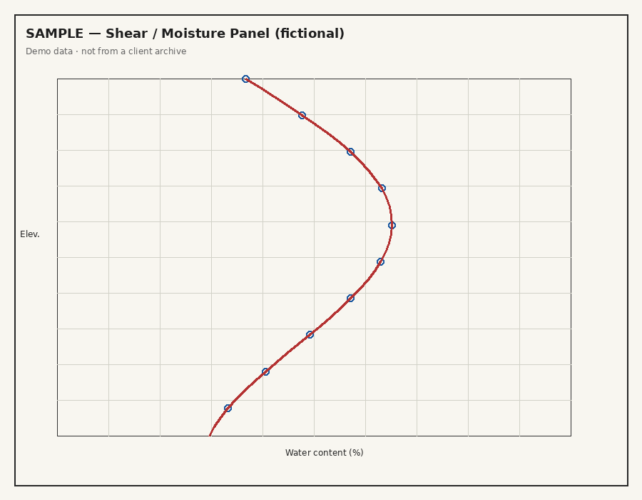
Inside the product
Extract. Ask. Decide.
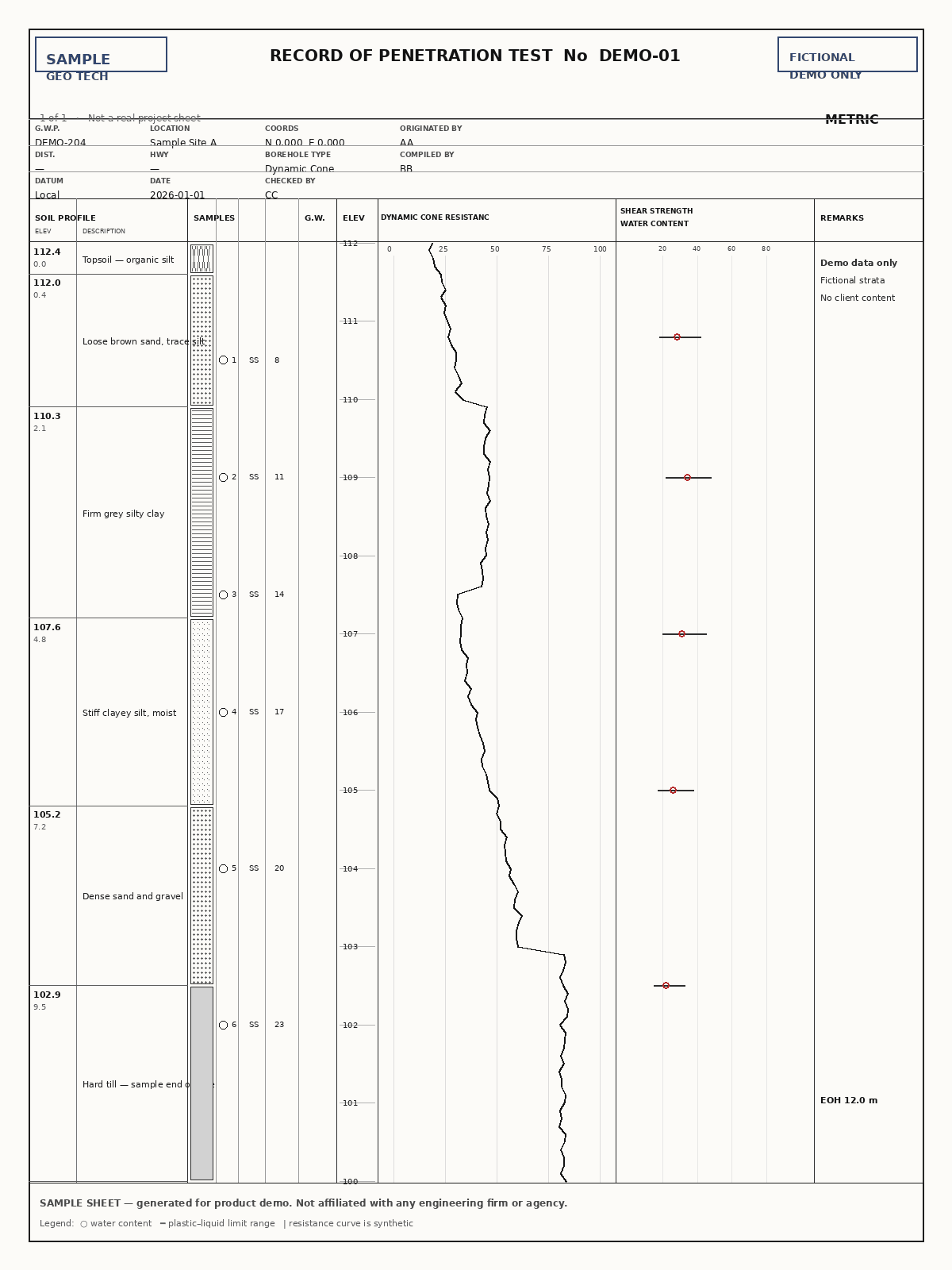
Extraction first.
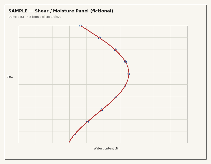
Assistant next.
Map and reports to finish.

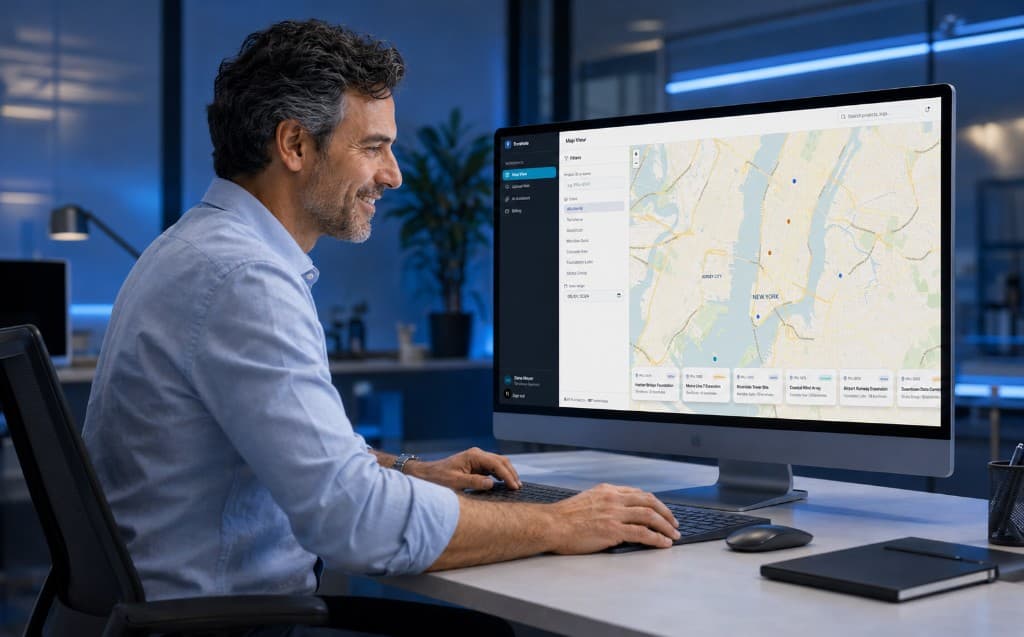
Everything NobeLeap does
Calibration first, then extraction through delivery.
- Firm format calibration
- PDF, scan, and image logs
- Header / title-block OCR
- Strata & soil units
- SPT N-values
- Moisture & lab curves
- Grain size distributions
- Driller remarks
- Sample records
- Multi-page borehole linking
- Source-cited answers
- Visual log verification
- Multi-chat AI assistant
- Live GIS map
- GIS filters & radius search
- Searchable project database
- Word / PDF reports
Product demo
Watch a 3-minute demo of NobeLeap
See the full NobeLeap workflow: upload borehole logs, let our AI structure the subsurface data, explore results on an interactive GIS map, ask the AI assistant questions across your project data with source-linked answers, and generate professional reports.
* Demo uses simulated borehole logs and locations. No client data is shown.
FAQ
Digitizing borehole logs, answered
What engineers ask before they hand us their first scanned log.
What is NobeLeap?
NobeLeap is AI software that digitizes geotechnical borehole logs. Upload scanned or PDF logs and it extracts the soil strata, SPT N-values, moisture content, sample records and header data into structured tables, plots every borehole on a GIS map, and lets you ask questions across your archive with answers cited back to the original sheet.
Which borehole log formats can NobeLeap digitize?
NobeLeap accepts PDF, PNG, JPG and TIFF files, from clean digital PDFs to scans of decades-old paper logs and phone photos taken in the field. Before you start, we calibrate the extraction to your firm’s own log templates, so the same pipeline handles the layouts, columns and plot styles your logs actually use.
What data does NobeLeap extract from a borehole log?
Depth-referenced soil layer boundaries and descriptions, SPT blow counts and N-values, moisture content and other plotted curves, sample depths and types, grain-size data, and the header block (borehole ID, location, dates and project metadata). Each table is exported as a CSV and can be reviewed against the source sheet.
How accurate is the AI extraction?
Depths are resolved to roughly 0.1 m using geometric calibration against the printed scale on each sheet. Every extraction ships with visual overlays so an engineer can verify values against the original log, and our release process runs a regression suite of 1,400+ human-verified values before any update goes live. Uncertain readings are flagged rather than guessed.
Can I ask questions about my boreholes in plain English?
Yes. The AI assistant answers questions across all your digitized logs, for example “which boreholes on this site have SPT N below 10 in the top 5 m?”, and every answer links to the source sheet and depth it came from, so results are auditable rather than a black box.
How much does it cost to digitize borehole logs with NobeLeap?
The first 15 sheets are free after a short onboarding meeting. After that, the Professional plan is a monthly subscription plus prepaid sheet packages valid for 12 months, and Enterprise offers custom per-sheet rates for firms digitizing large archives. See the pricing page for current package sizes.
Is my geotechnical data secure?
Data is stored on Google Cloud infrastructure in North America, encrypted in transit with TLS and at rest by default. Every new account is approved by an owner before it can access the workspace, and administrators can grant or revoke dashboard access at any time. Details are on the security page.
How do I get started?
Create an account and book a short virtual meeting. We calibrate NobeLeap to your log formats, then your workspace unlocks and you upload on your own. The first 15 sheets are digitized at no cost so you can check the output against your own logs before paying anything.
Start with a short virtual meeting
Create your account, book a meeting, and we calibrate our platform to your log formats. Once that personalization is done, your workspace unlocks and you upload on your own. First 15 sheets are free.